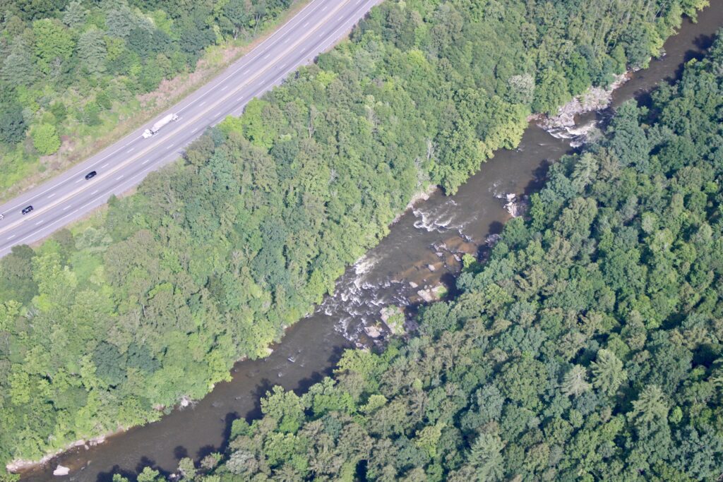
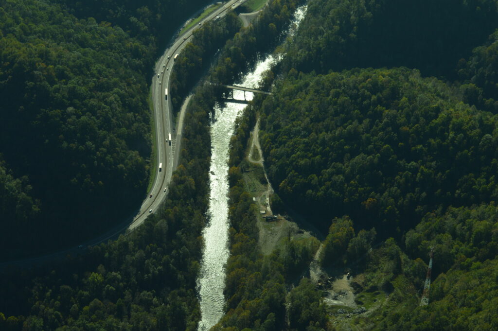
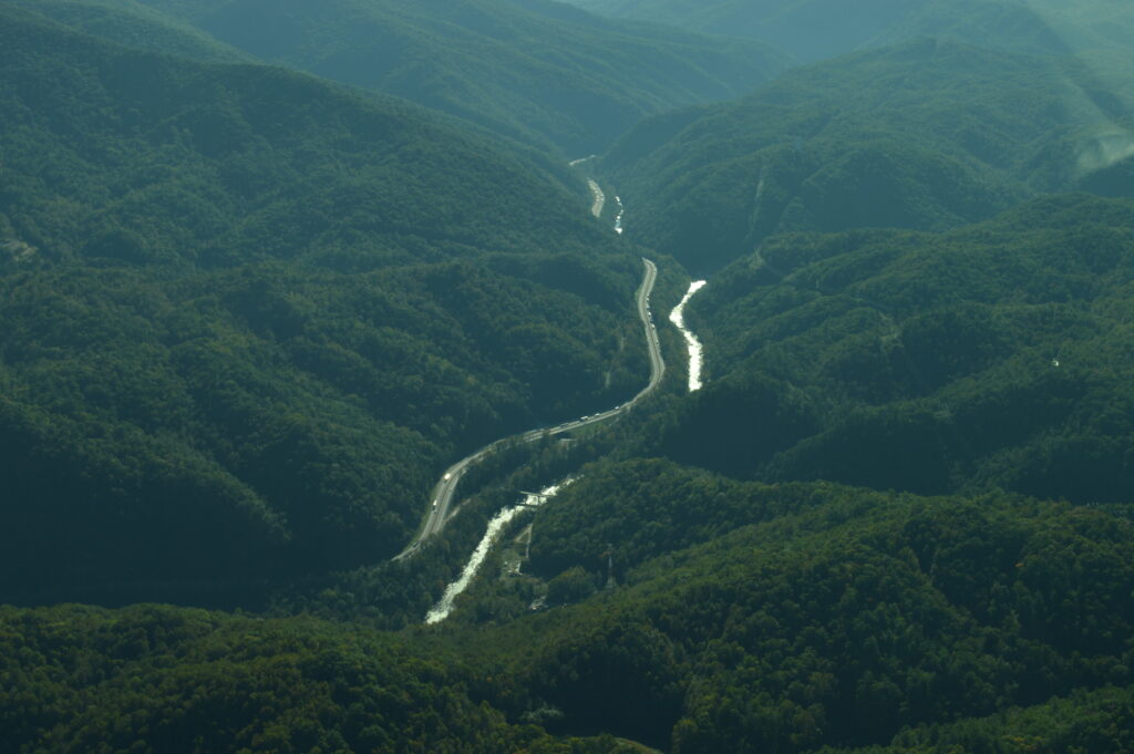
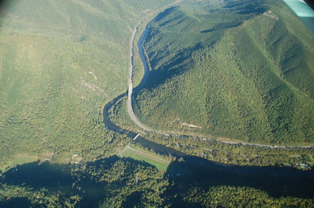
Aerial photos of I-40 in the Pigeon River Gorge by SouthWings.
By Steve Goodman, Safe Passage Co-Research Lead and Conservation Biologist for National Parks Conservation Association
Safe Passage is on a mission to improve wildlife’s ability to safely cross I-40 in the Pigeon River Gorge, resulting in improved public safety.
But, from a large landscape perspective, why have we chosen to expend valuable conservation and transportation resources here? And why now?
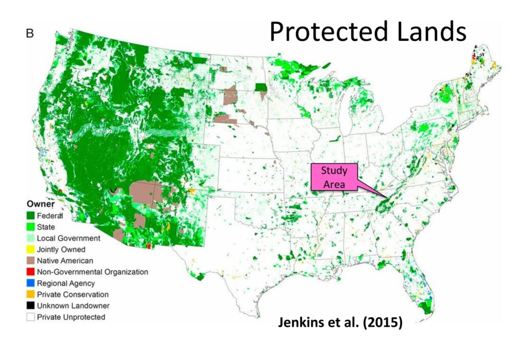
First, looking at a map of protected lands across the U.S., there is much less protected land in the East, and Great Smoky Mountains National Park and the surrounding national forest lands make up a substantial portion of it (Figure 1).
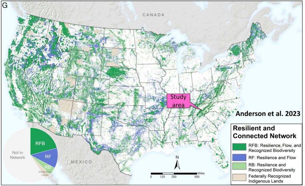
Furthermore, we’re right in the heart of The Nature Conservancy’s resilient and connected network designed to sustain biodiversity under a changing climate (Figure 2). This habitat corridor is critical for the long-term flow of regional plants and animals, yet I-40 has become a major barrier to wildlife movement. Researchers have estimated that in the Eastern U.S., only 2% of natural land areas retain enough connectivity to adequately allow plants and animals to track climate change. By adding wildlife corridors, we have an opportunity to increase that percentage tenfold.
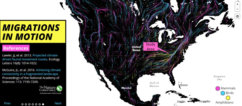
Most compelling in a visual sense, however, is the now-famous Migrations in Motion map (Figure 3), produced by The Nature Conservancy. Based on modeling of the climactic needs of individual species, this animated map illustrates predicted movement routes of around 3,000 mammal, bird and amphibian taxa under current climate change projections, many of which are expected to track through the spine of the Southern Appalachians, including the Pigeon River Gorge.

